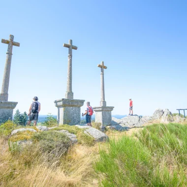
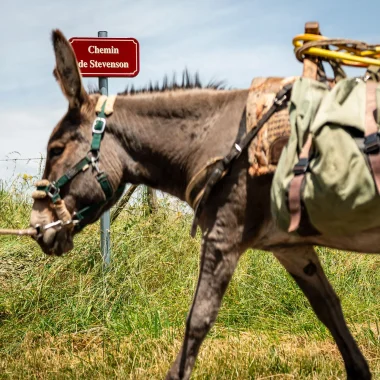
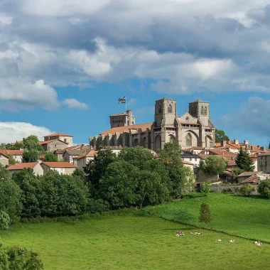
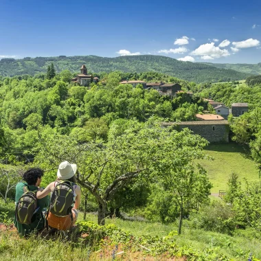
The path of Régordane (Saint-Gilles) allows walkers to follow a thousand-year-old path, once used by merchants, mule drivers, knights but also pilgrims going to the tomb of Saint Gilles or to the Black Madonna of Puy-en -Velay. This route was also the scene of the exploits of William of Orange, liberating Nîmes from the Saracens. It's a story…
Starting from Puy-en-Velay, 240 km of trails await you to reach Saint-Gilles-du-Gard along the Régordane path, the GR® 70 0.
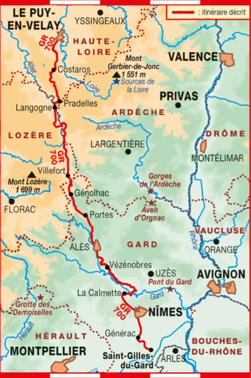
TECHNICAL SHEET
GR®700 REGORDANE WAY (SAINT-GILLES)
- Departure: Le Puy-en-Velay
- Arrival: Saint-Gilles-du-Gard
- Distance: 240km
- Duration: 10 days
- Means of transport for departure: Puy-en-Velay SNCF station
- Means of transport for the return: shuttle/bus to Alès
- Website : www.chemin-regordane.fr
- Mobile application: Régordane – GR®700
Recommended steps on the Régordane GR®700 path:
- Stage 1: From Puy-en-Velay to Costaros: 20 km
- Stage 2: From Costaros to Langogne: 25 km
- Stage 3: From Langogne to La Bastide-Puylaurent: 24 km
- Stage 4: From La Bastide-Puylaurent to Villefort: 22 km
- Stage 5: From Villefort to Genolhac: 14 km
- Stage 6: From Genolhac to Portes: 14 km
- Stage 7: From Portes to Alès: 24 km
- Stage 8: From Alès to Ners: 17,5 km
- Stage 9: From Ners to Saint-Chaptes: 15 km
- Stage 10: From Saint-Chaptes to La Calmette: 18 km
- Stage 11: From La Calmette to Nîmes: 19 km
- Stage 12: From Nîmes to Générac: 16 km
- Stage 13: From Générac to Saint-Gilles-du-Gard: 12 km
GR700 accommodations
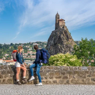
Le Puy-en-Velay, departure from path of Régordane
Puy-en-Velay brings together many major hiking routes. Departure from the mythical path towards Saint-Jacques of Compostela, the town of Puy-en-Velay is a real crossroads Great Hikes® for walkers.
Its famous Via Podiensis is used by thousands of pilgrims each year and the Régordane path also starts from the volcanic highlands of Puy-en-Velay. Traveling the Régordane path means tackling 3 departments: Haute-Loire, Lozère and Gard, true hiker's paradises.
In the land of volcanoes, in Gévaudan, between Cévennes and the Mediterranean, the Régordane path is a millennia-old route of pilgrimage and exchange. Admire its landscapes, discover its historical stories, walk its trails…
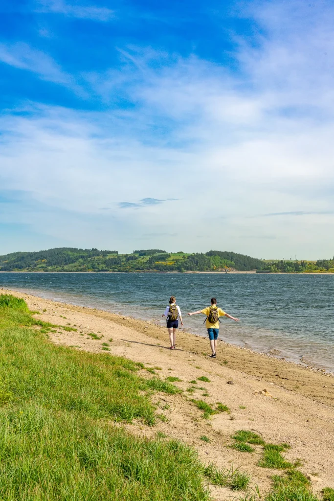
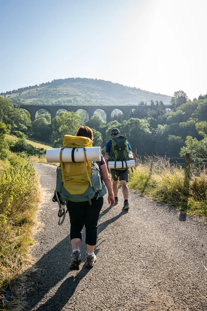
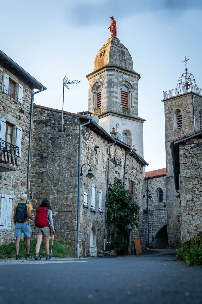
The Chemin de Régordane, a historic route
An ancient transhumance route , crossing villages among "the most beautiful in France", the Régordane route is one of the greatest pilgrimages of medieval Western Christendom.
The Régordane Way is a route that links many monuments listed as World Heritage Sites by UNESCO, such as the cathedral of Le Puy en Velay and the abbey church of Saint Gilles du Gard.
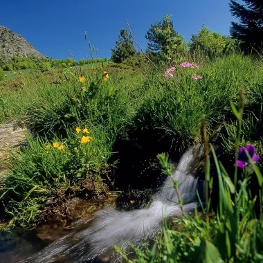
This hiking trail offers vast unspoiled spaces and a remarkable diversity of landscapes, each with its own distinct character : the Velay, the Margeride, Mont Lozère and the Cévennes (a UNESCO World Heritage Site), the Gardonnenque and the Garrigues, the Costières and the Camargue. It is also rich in cultural and architectural heritage, including castles, churches, museums, and, of course, the Nîmes Arena and the Abbey of Saint-Gilles.
Taking the Régordane route means crossing lands populated by legends : those of William of Orange and the Charroi de Nîmes, of Mandrin's brigands, of the beast of Gévaudan, of Monsieur Seguin's goat or of Peter and the wolf.
The Régordane invites the traveler to discover the lands, the people, and their history. Finally, it is a route that was mentioned in one of the oldest chansons de geste, the charroi de Nîmes, in the 12th century.

PRACTICAL TIPS
Plotting on an IGN map, description of the route, references to accommodation, restaurants, more generally all practical services, presentation of emblematic elements and reading of the landscapes, the Topoguide, light and easy to slip into the bag, is the tool essential to ensure peace of mind!
FAQ
Why does the Chemin de Régordane have this name?
Régordane is the name of the path followed by Guilhem in the epic poem "Le Charroi de Nîmes" (The Cart of Nîmes ). This name could refer to the mountain that blocks the horizon for the traveler leaving Nîmes and venturing into the Cévennes. "Régordane" seems to evoke a notion of steep terrain and deep valleys.